Product Description
★Please note:
The picture shows the most accurate color, but the color may vary depending on the computer display.
★Return policy:
☆1 If you are not satisfied with our products or have other questions, please let us know as soon as possible. We will contact you within 24 hours.
☆ 2. When you recognize our products, please don’t forget to leave a 5 star rating. Thank you for your support.
☆☆☆: Only sell drones, others do not participate in the sale!
note:
Manual measurements may have errors. Please refer to the current product.
Our products will be delivered within 10 to 20 days. If you have not received the product within 30 days, please contact us in time.
If you have a problem with your product, please contact us and we will provide you with the right solution.
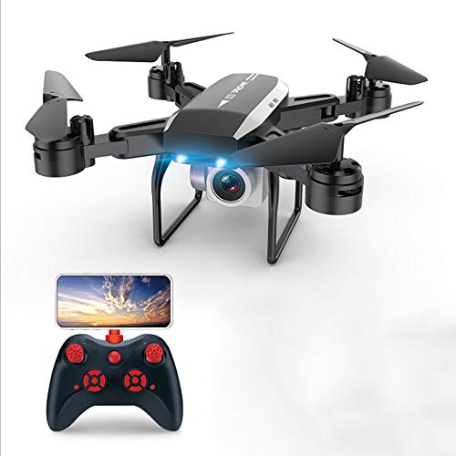
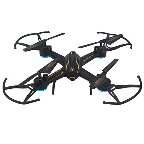
GPS drones, professional high-definition aerial photography, long-range RC airplanes, 4-axis drones are your best choice.
Colour: Black
Product size: 30 * 30 * 4.5 (cm)
Flight time: 13-15 minutes
Remote control distance: about 150 meters
Battery capacity: 7.4V 900mAh
Remote frequency: 2.4GHz
Camera: 1080P
Functional Description: GPS accurate positioning; large capacity, long battery life; 300-500 meters high-definition WIFI image transmission; barometer fixed height; around point flight; APP mobile phone control; VR 3D mode; intelligent follow; high-definition wide-angle camera; novice mode
Product acessories:
Aircraft* 1
Remote control* 1
Charger* 1
Screwdriver tool* 1
Instruction manual* 1
Excellent after-sales service: If you have any questions, please contact us by email.
Product Features
- GPS satellite positioning to prevent loss; in the UAV body equipped with GPS satellite positioning module, automatically launch satellite signals, to achieve runaway return, low-power return, designed to protect drones, easy to achieve flight operations.
- 300-500 meters HD wifi image transmission, stable remote control distance, we can not miss any wonderful moments.
- The barometer is set at a high altitude, and the barometric pressure meter is used to calculate the current atmospheric pressure and convert it into a height. This function plays a very important role in achieving stable flight and aerial photography.
- Intelligent follow-up, after turning on the GPS positioning, the maneuvering aircraft flies at a distance of 5 meters from the controller, and the automatic following function is turned on, and the aircraft can automatically follow the movement of the controller to achieve automatic following aerial photography.
- Flying around the point, the 360° surround loop is centered on the remote control, and the aerial function can be turned on at the same time to make a wonderful movie with different flight angles.


